Sunday, March 17, 2013

Halls Gap to Dunkeld

Sunday 17th March 2013

The rain had gone overnight, but it remained cloudy and overcast for most of the day, and quite cool. I had a bite to eat at the cafe in Halls Gap, and set off on a very steep 5km up into the Serra mountain range.


Halfway up the climb, the Wonderland area featured exposed rock formations and deep canyons:


At the top, a short track led to a lookout giving panoramic view over Halls Gap and Lake Bellfield:


The Elephants Hide rock formation is a good example of the cuesta landform:


Back down via the steep descent, another short track led to the Silverband falls:


Although it was only a trickle now, back in early 2011 heavy rainfall had caused torrential water flow down Dairy Creek, washing away the bridge over the access path to the falls; the wreckage is still present and can be seen in this photo:


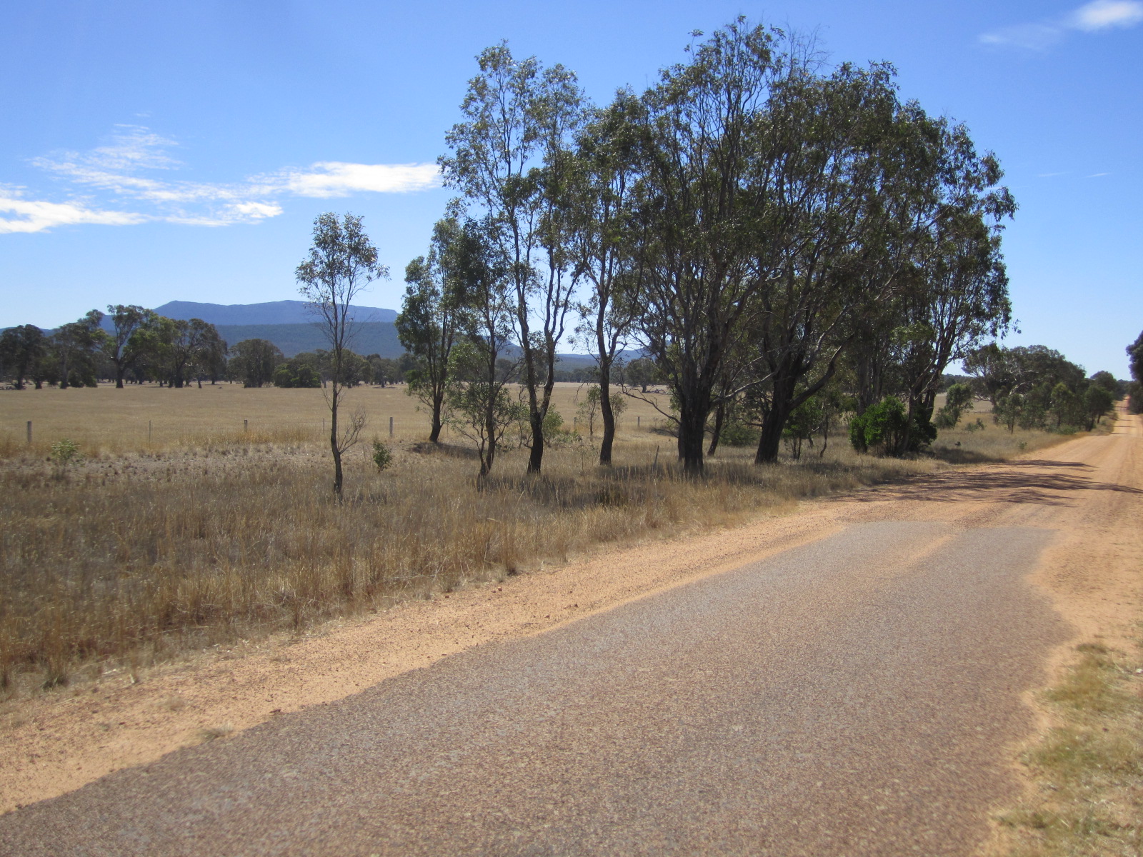
The route then turned south back towards Dunkeld along the Grampians Tourist Road, which follows Fyans Creek to the Great Dividing Range then descends along the Wannon River Valley - 60kms of gently undulating road with the mountains forming a constant backdrop.


Just before 1700 I arrived back in Dunkeld. I had an good meal  in the 4 star Royal Mail Hotel, where I was stunned to see a log fire burning in the bar. It's still summer here for heaven's sake! Although it certainly is a lot cooler than it was last week, autumn will be here soon no doubt.


Distance today 83kms, total so far 915kms.

Here's a link to the updated map

Saturday, March 16, 2013

Ararat to Halls Gap

Saturday 17th March 2013

The weather was overcast and cool, but dry and the first 30kms, along the Great Western Highway, took little over an hour. Then I reached Stawell, another sizeable and interesting town with a number of attractions, most notably the athletics track where the famous Stawell Gift race is run annually:


The town hall has a clock with mechanical miners who strike their picks every hour:


The War memorial is in a beautiful setting with the mountains as a backdrop:


There is a lookout over the town from "Big Hill" which gives a fine view:


From Stawell the route continued through open farmland, with great views of the surrounding mountains. After another 35kms I reached The Gap vineyard and enjoyed tasting some soft but spicy reds.


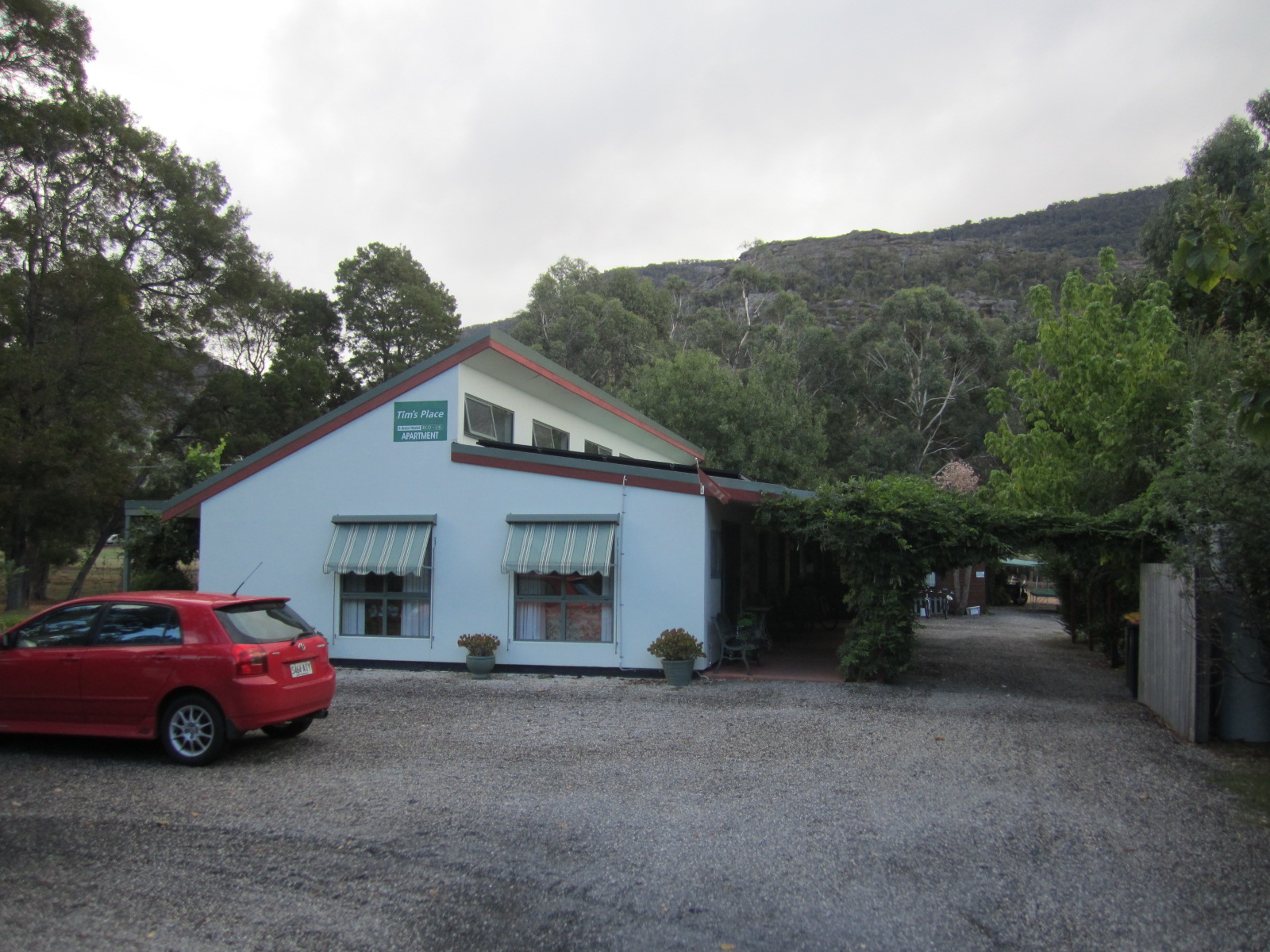
Just after leaving the winery, the rain started - the first since the start of the tour. Fortunately I was nearly at Halls Gap,today's destination, so didn't get too wet. I checked into a pleasant eco lodge which had masses of kangaroos hopping around outside.


Halls Gap is at the centre of the Grampians National Park and there are many tracks and bushwalks to explore; however it was too wet to do any of these today. Hopefully the weather will improve tomorrow, and I will check some of them out.

Distance today 73kms, total so far 832kms.

Dunkeld to Ararat

Friday 15th March 2013

Another long stretch without shops or services lay ahead so I stocked up with plenty of water for today's journey through the flat, rural landscape of the Victoria Valley. It wasn't all flat, there were a few mountains to climb over, notably Mirrinatwa Gap, at 33kms, which provided some decent views:


After another 10kms there was an 18km section of dirt road, which fortunately wasn't too rough:


The highlight of this section was a race with several kangaroos which went on for about a kilometre until they jumped off the road. They were reaching speeds well over 30kph.

The first town on the route was Moyston, at 76kms, which was supposed to have a general store. However this was undergoing redevelopment and there were no services at all there. I was relieved to still have enough water left to reach today's destination Ararat, another 17kms away.

Shortly after Moyston, at Pinkey Point, there was a historic marker commemorating the first gold find in the district:


I reached Ararat by about 1600 and saw lots of classic and custom cars driving around the street of this busy town. There was a large Rock and Roll meeting going on all weekend, and the tourist information office told me that most of the hotels were full. Fortunately I managed to find reasonable accommodation in the wonderfully Art Deco Ararat Hotel:


The town hall is quite an impressive building:


Distance today 94kms, total since leaving Adelaide 759kms.


Thursday, March 14, 2013

Coleraine to Dunkeld

Thursday 14th March 2013

The day began with a long steep climb out of Coleraine, rewarded with a decent view from the top of the hill:


After about 20kms I reached the scenic Wannon Falls, currently dry but still impressive:


10kms further on I arrived at Hamilton, quite a large town. It had a decent motor museum where I spent an enjoyable hour looking at the exhibits and chatting to the owner.


After lunch I continued east towards the small town of Dunkeld, which lies at the southern entrance to the Grampian Mountains where I'm going to be following a route from the Lonely Planet cycling guide over the next 3 days. The town is overshadowed by 3 mountains, Mt Sturgeon, Mt Abrupt, and the charmingly named "Piccaninny".


After finding a hotel I set off to climb Mt Sturgeon, whose summit is 460 metres. The path is clearly marked, although quite steep. It took about an hour each way and was a great experience, with numerous encounters with pademelons and kangaroos on the way up, and awesome views from the summit:


Distance cycled today was 82kms, total so far is 665kms.

Here's a link to the updated map

Wednesday, March 13, 2013

Penola to Coleraine

Wednesday 13th March 2013

It was a great relief to wake up to a cloudy sky, and much cooler conditions than yesterday. The forecast was for about 25 degrees which made for a lot easier riding than I'd had over the past few days.

Also there wasn't too much of a distance to the next town, Casterton being a mere 60kms away. So running out of water wasn't a big worry, unlike yesterday.

After 20kms I crossed the border into Victoria, and remembered to advance my watch by 30 minutes to take account of the change in time zone.


It was another nice flat road with very little traffic, and the going was easy. There was a lot of evidence of recent bushfire activity:


I reached Casterton around 1300 and stopped for lunch there. It's a fairly nondescript town on the banks of the flood-prone Glenelg River. There were a few nice old buildings, not much else.


The steep climb out of town led to a scenic lookout:


From here onwards the terrain became a bit more undulating, there were a few steep hills but nothing too strenuous, and more great views:


After another 30 kms I reached Coleraine which seemed like a reasonable place to stop for the day. Not a lot to see here apart from a chocolate factory, and the old railway station which now has a lake where the  tracks used to be:


The  National Hotel provided accommodation, and dinner was in the nearby Coleraine Hotel which was pretty good, although surprisingly there were no decent wines available.


Distance  today 99kms, total so far 583kms.

Here's the updated route map.

Tuesday, March 12, 2013

Robe to Penola

Tuesday 12th March 2013

I took a few photos of Robe before leaving. It's a charming historic port, and a popular holiday destination. This is the Robe Hotel, where I stayed.


This is a monument to the explorers Flinders and Baudin, who each explored the area independently in the early 1800s. In the background is the harbour:


There are some historic buildings, and a typical "Digger monument" War Memorial:


The temperature was even hotter than yesterday. By 0900 it was already nearly 30C and headed for a maximum forecast of 39C. And like yesterday, there was a long way to go with no services en route. I was heading inland along the Clay Wells Rd and  Penola was the next town, over 100kms away.

So I stocked up with several large bottles of water, enough Powerade powder to render the whole lot isotonic, and reconciled myself to the prospect of drinking a lot of very warm sickly fluid throughout the day.

The road to Penola was long, flat, and rather boring with very little of interest on the way, and also virtually no shade. There were a few forest plantations but they were too far from the road to provide any protection from the blazing heat:


The Kangaroo Inn, about half way to Penola, had not provided any refreshment to travellers for some considerable time:


The only other thing of interest on the route was this hollowed out old tree, which had been used as a posting box by early settlers:


I reached Penola around 1500 and after a refreshing drink of cold water kindly provided by the tourist office, I checked into the historic Royal Oak Hotel on the main street.


Penola is in the heart of the Coonawarra wine region so of course I had to head out on a brief ride to check out a few local wineries, which were all excellent.


Then I walked around the Penola Heritage Trail, looking at the many historic buildings that are very well preserved here:


Distance today - 119kms, total so far 484kms.

Here's a map of the route so far, which I intend to update every day. If I can discover a bit more about using Google Maps I will try and embed the map on the blog page so readers won't have to click on the link.